If you always wanted to create a 3D model or even a 3D print like the guys from microscape who created a 3D print from New York – you can now do that very easily for topographical maps.
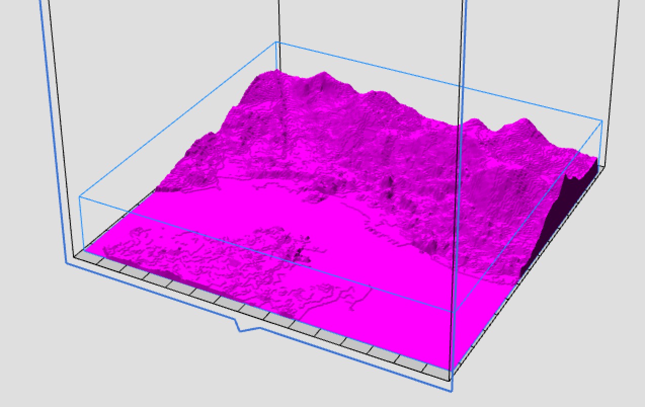
Sightline Maps build a tool that converts an area you can select on a map into a 3D model of that area’s topography. That means you can easily get a 3D printable model of the Mount Everest or the mountain in your backyard.
You can register for a free account and get a 3D model for a small charge of 20$ or even get a free model when you share it via social media. And if you don’t own a 3D printer you can order the 3D print right from the browser.
It only takes two easy steps to generate a 3D model. First you find the area you want to have as a 3D model. Then you select the specific area you want to generate. Additionally, you can choose to generate a file where the altitude is multiplied by the factor 2, 3 or 5 to make changes in the terrain more visible. You will see a preview of the model that will be generated, so you can choose what area fits your purposes the most. Then press the “Generate 3D Model” button, as shown in the gallery bellow:
And just a few moments later you get an email with a link to the STL file. That’s it – the perfect tool for geographical education!
Subscribe to our Newsletter
3DPResso is a weekly newsletter that links to the most exciting global stories from the 3D printing and additive manufacturing industry.


